Maharara
Village: Lunghar · District: Ukhrul · Block: Ukhrul · SD: Ukhrul
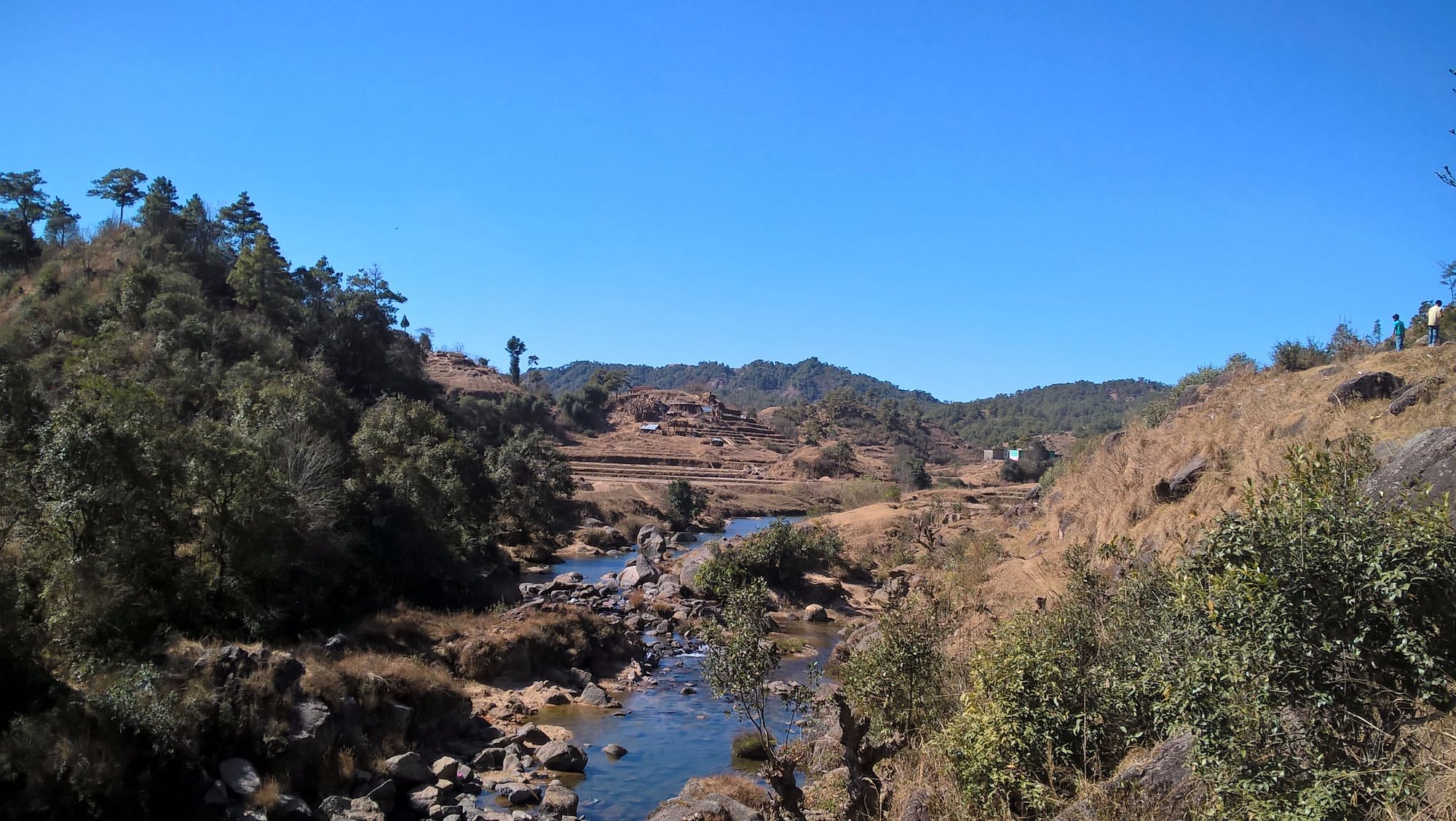
This spring is part of the Lunghar water system and is used mainly for DRINKING purposes. It emerges on a moderate hillside where groundwater meets the surface. The site is included in the Natural Springs Monitoring system so that changes in flow and quality over time can be tracked.
Location & Elevation
Latitude: 25°10'24" N
Longitude: 94°26'15" E
Elevation (measured): 1780 m
DEM elevation: —
Attributes
Monitoring status: MONITORED
Spring type: Gravity spring
Usage: DRINKING (Used for drinking and domestic use.)
Seasonality: PERENNIAL
Vegetation cover: DENSE
SOI sheet: Yes
Land ownership: COMMUNITY (Community)
Monitoring Summary
This spring has 1 monitoring record stored in the database.
Last monitored
18/11/2025
pH
7.18
Discharge
1.51 LPM
TDS / EC
90.7 ppm / 127.1 µS/cm
Monitoring Records
| Sl.No. | Date of monitoring | pH | Water Temp (°C) | Salinity (PSU) | TDS (ppm) | EC (µS/cm) | Discharge (LPM) | Measured by | Notes |
|---|---|---|---|---|---|---|---|---|---|
| 1 | 18/11/2025 | 7.18 | 11.3 | 59.000 | 91 | 127 | 1.51 | Khayaimung Kazingmei | Initial baseline measurement. |